| Project Overview |
|
|
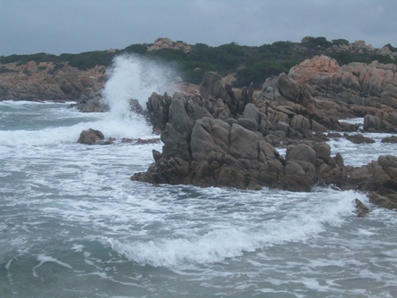
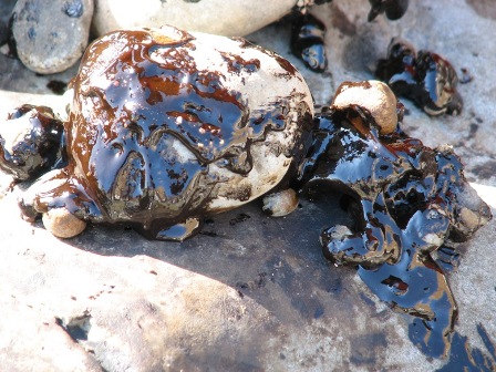
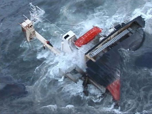
For the legal status of International Strait, every year it is crossed by thousands of ships, particularly ships carrying dangerous or polluting materials such as oil tankers, chemical tankers and gas carriers, many of which are now obsolete or not with the double hull or equivalent technology. The strong winds from the west and northwest, for the Venturi effect, increase their intensity when channeled through the Strait, greatly and influence the weather and sea conditions and therefore the shipping through the Strait. Navigation is also complicated by the complex morphology of jagged coastline, from the existing shallow waters, the presence of islands of the Archipelago of La Maddalena (Sardinia) and of Lavezzi and Cavallo (Corsica) and the numerous shoals and reefs. These factors make the Strait of Bonifacio Strait "highly vulnerable", with a high risk of marine pollution by oil and toxic-emissions. The Strait is included in the plan area of international cooperation Franco-Italian-Monegasque RAMOGEPOL designating the competent authorities to coordinate the joint action of the three countries in the event of accidental pollution in the area RAMOGE (set up following the birth of the RAMOGE Agreement); as a function of their high vulnerability of the Strait of Bonifacio was chosen in 2007 as a scenario for the annual exercise and meetings between the authorities of the three countries. The project SOS-Bocche di Bonifacio wants to implement an innovative system of forecasting and monitoring of marine circulation for the management of environmental emergencies caused by spills into the sea of hydrocarbons (oil spills). The oil spills are "leakages" of oil from vessels which may be accidental (collisions between ships, ground etc ...) or voluntary (discharge of bilge, ballast and tank waters). The system provides for the integrated use of: - analysis/forecast numerical models of the marine circulation "nested" on different spatial scales; - analysis/forecast numerical models of the mesoscale atmospheric circulation; - meteorological observations from remote station (weather station of Guardia Vecchia - La Maddalena island); - Lagrangian measurements of the surface currents field by floating buoys (drifters); - oil spill modules for the simulation of hydrocarbon spreading and weathering processes.
You can find at the following links:
Aggiungi quest pagina al tuo Social Bookmarking website preferito            |
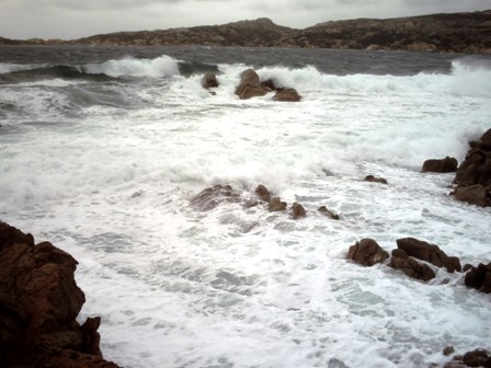
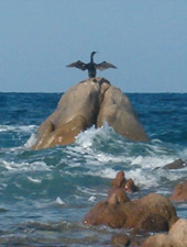 The Bonifacio Mouths (or Strait) is the strait between Sardinia (Cape Testa and Punta Falcone) and Corsica (Cape Pertusato) of high environmental value for the outstanding importance to the landscape and the wide variety of habitats.